July
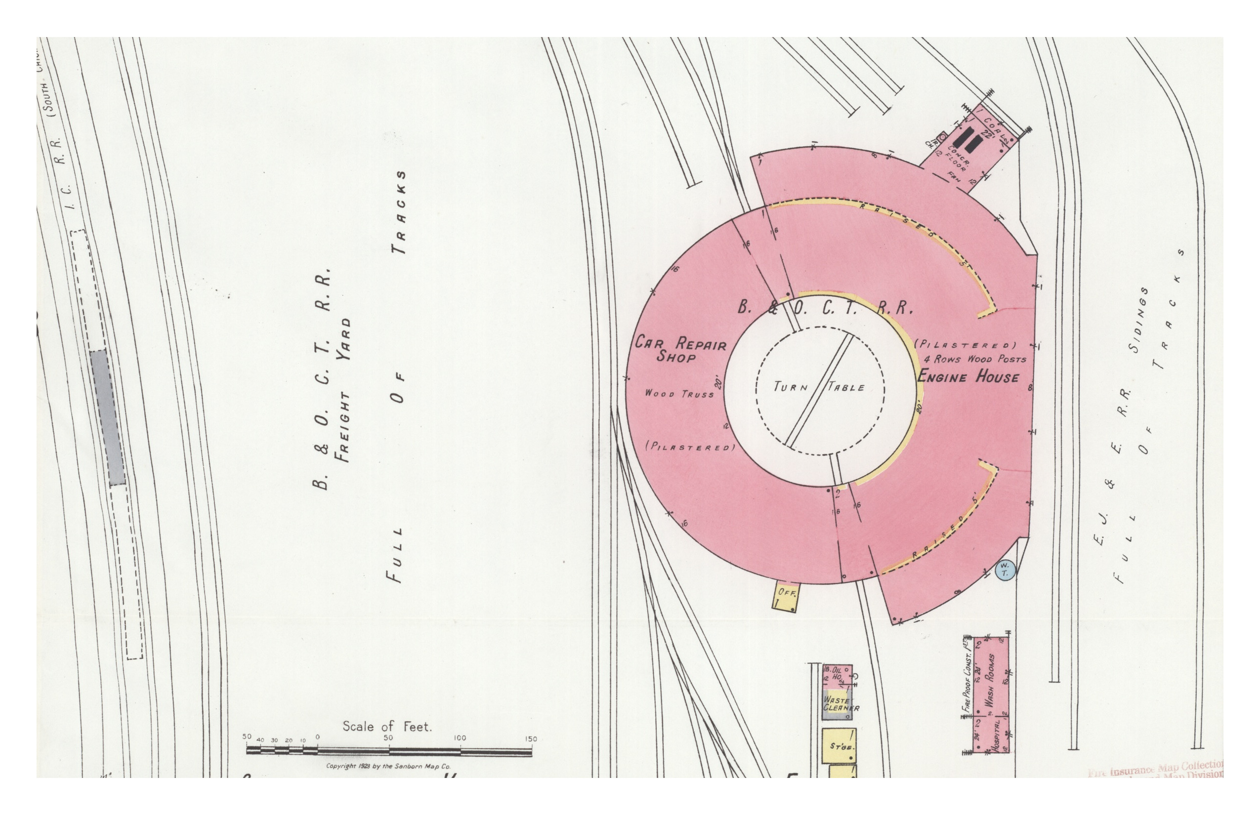
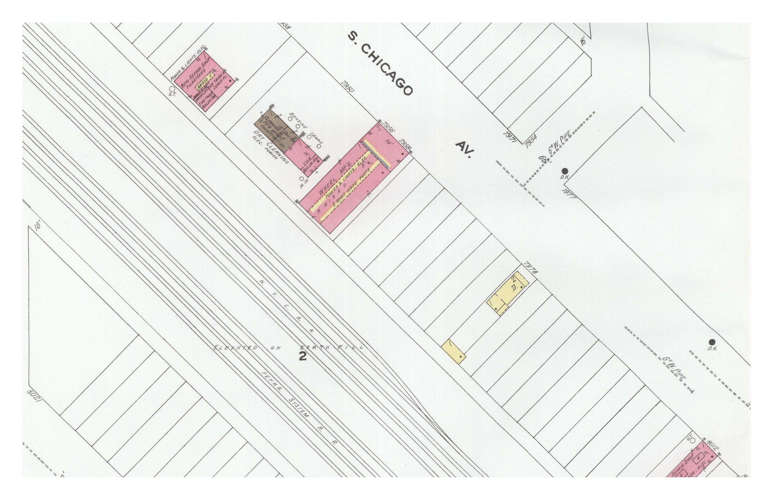
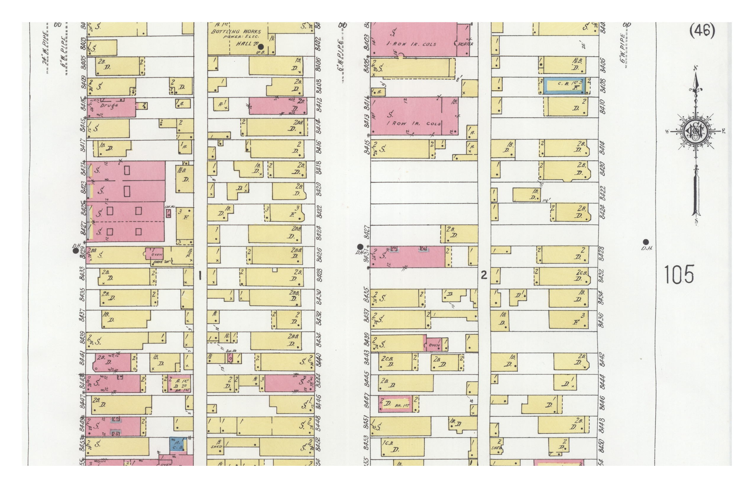
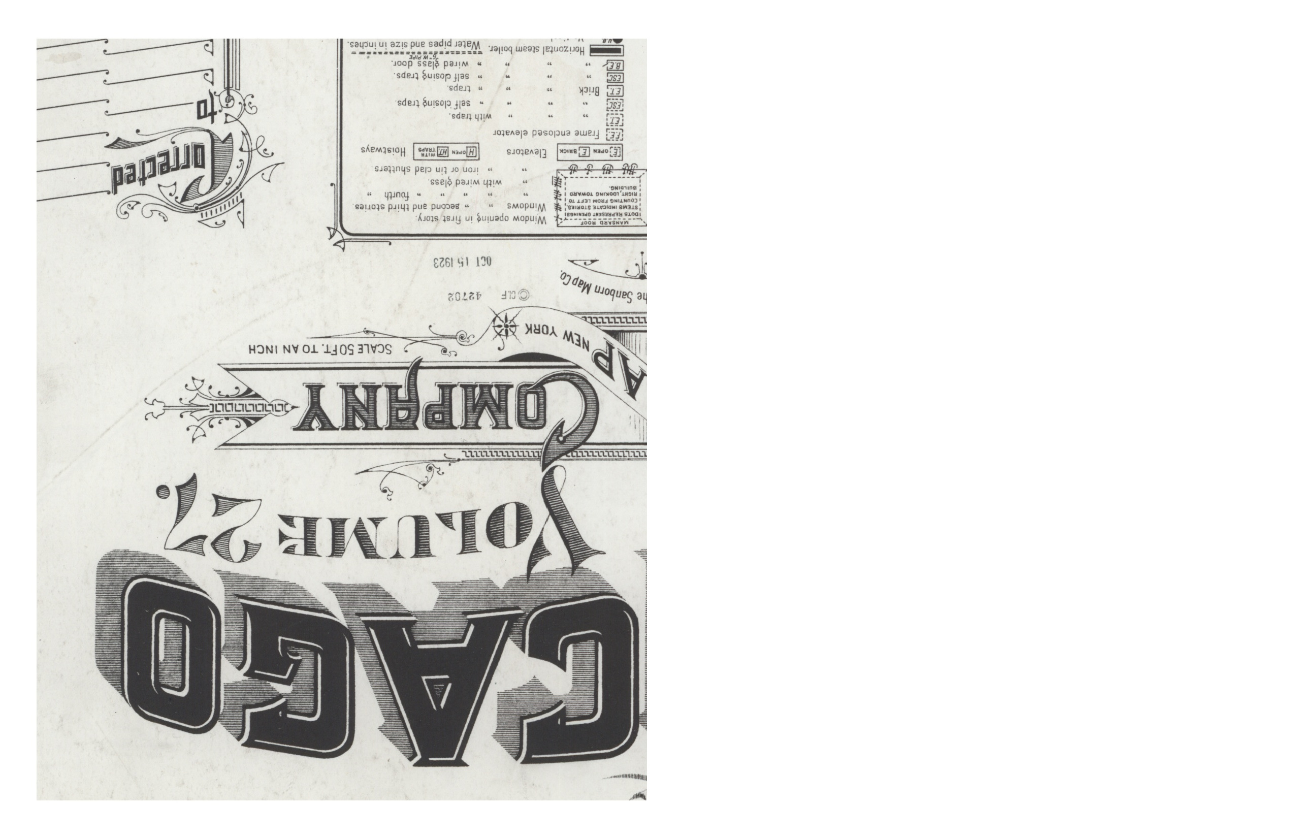
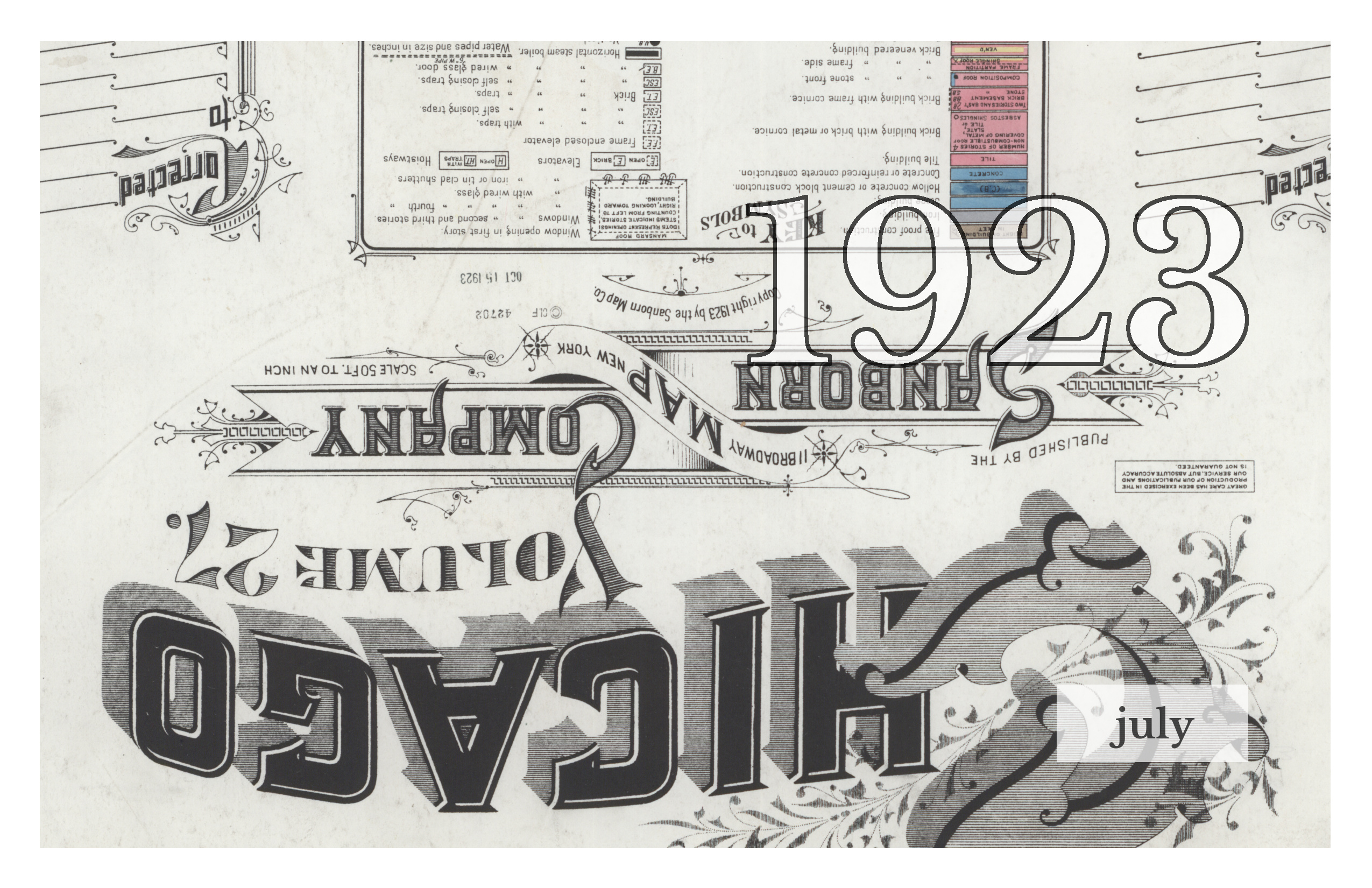
The July issue of 1923 contains details from one of my personal all-time favorite collections, the Sanborn Map Company’s fire insurance maps of places in the United States. Sanborn created maps for some 12,000 cities and towns, recording the street and building layout in extensive detail—and capped the oversized map books with ornately decorated title pages. All of the images in the July issue are details from one such publication, the 1923 publication of its map of Chicago.
The Chicago map is just one of over 18,000 hosted online by the Library of Congress, and consists of 107 “sheets” of images. That reflects the way Sanborn maps were distributed, in massive books intended for the exclusive use of a specialized industry of fire insurance providers and underwriters. Sanborn produced beautiful objects, but first and foremost were selling something functional.
The online collection is impressive, but hands down the best way to view a Sanborn map is in person, where the scale can really come across. Many public libraries (at least in the United States) have copies available for use on-site, where flipping through the massive tomes is as much a tactile experience as a visual one. Updates were sent out as paper cutouts, and in some physical collections you can see and feel where they’ve been pasted in.
Although most issues of 1923 are in black-and-white for that real zine aesthetic, July is in full color. There’s no other way to get across that distinctive Sanborn look of blocky buildings in functional pastels.
Download this issue as pdf.